
Shipping in public
What's new.
Real milestones only. Every entry below is live in the product today.
Model-agnostic reasoning layer
The reasoning layer runs model-agnostic across three frontier-model tiers — fast, default, and top — picked per query by a complexity router. A lookup does not pay top-tier prices and a due-diligence question does not settle for a fast one. When a better model wins a task, we swap in.
See it liveA ground-up mobile pass
Every marketing surface, the checker overlay, and the app shell audited for phones: 44px tap targets across nav and sheets, notch-safe headers, the bottom-sheet close button pulled inside the card, tighter section rhythm on ≤640px screens, and a leaderboard grid that no longer overflows a 375px viewport.
The value rail and the paid door
Every result card now carries the value rail — the paid tier’s argument on every factor arc that has something to sell, with the paid door surfaced next to the score rather than buried at the bottom of the card.
See it liveThe free Score scores the property, not the county
The free-tier Score used to fall back to a county-level hazard index when parcel data was thin — two lots on the same block could return the same number. It now runs the real property-level engine on every fresh score; a factor with no data drops out instead of being averaged in from the county.
See it liveFive persona funnels
Investors and developers work from /deal and /deal/compare; city staff land on /cities; teams work from /pro; and homeowners answer a single question at /adu or /what-can-i-build. Each funnel has its own compare table, watch-list, and deliverable — no more forcing every buyer through the same door.
See it liveOne certificate-grade document
Every export is now the same certificate-grade report: an aerial photo of the parcel with its boundary drawn, a vector site diagram with the buildable envelope and per-side clearances, cited factors, and verification by recomputation. Workspaces can white-label it — logo, footer, and brand color.
See it liveDesign Studio on the Explore map
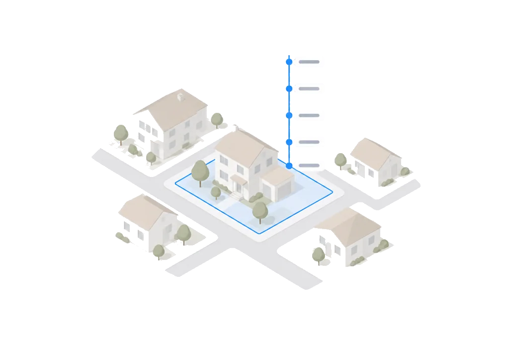
Select any covered parcel and see the buildable envelope drawn on the map with clearance measurements on every side. Sketch blocks, triangles, and n-gons, drag corners and walls to reshape, or describe what you want to build and let AI draft the massing — all checked against the setbacks the law or the record supports.
See it liveThe national surface, v1
Every 0.1° cell of the lower 48 — plus Alaska and Hawaii — scored through the real engine and rendered as a continuous heatmap at every zoom. Hover anywhere and read the score plus each hazard factor. Open water, protected parks, and the ocean are masked, not painted over.
See it live6,743 city pages
A buildability page for every U.S. city we cover — Census facts and state hazard framing, no invented statistics — with a full sitemap for search and AI answer engines.
See it liveGeo, a real tool-calling agent
Geo is a tool-calling agent with nine tools that run against the live Score engine — score_address, explain_score, run_scenario, feasibility and more. Answers come from the same code path as the report, not from a canned script.
See it liveThe live data spine
Any U.S. address scores with zero API keys configured: Census geocoding plus live FEMA, USGS, EPA, and USDA queries on every run. Parcel, rental, and zoning partners layer on top.
See it live

Every parcel. Decoded.
Run your first address free. The verdict takes about 20 seconds.
Free to score · No card, no signup · All 50 states