
Free Preliminary Address Check

What Can I Build on My Property?

See a preliminary, source-cited feasibility result for your proposed project.

Buildability™ organizes available zoning, site, access, utility, and hazard evidence and clearly identifies what still needs local verification.

Free · No signup · Preliminary results

Direct answer

How do I know if I can build on my property?

Start by identifying the parcel’s governing city or county, official zoning district, overlays, and development standards. Then compare your proposed project with permitted uses, setbacks, height, lot coverage, access, utilities, and site constraints. Buildability organizes that preliminary check and shows its sources, but the governing jurisdiction makes the official determination.

· Status: Verified guidance

How to verify it

  1. Identify the parcel and jurisdiction

    Confirm the address, parcel boundary, and whether city or county rules govern.

    Sources: Zoning Verification, Buildability data sources

  2. Read the local zoning rules

    Check the official map, base district, overlays, permitted uses, and dimensional standards.

    Sources: Land Development Code, Buildability data sources

  3. Check physical constraints

    Review flood, terrain, soil, wildfire, access, utilities, easements, and other site-specific limits.

    Sources: National Flood Hazard Layer, Web Soil Survey, 3D Elevation Program, Buildability data sources

  4. Match the proposed project

    Compare the intended use and building form with the rules and identify discretionary approvals.

    Sources: Land Development Code, Buildability data sources

  5. Verify before committing money

    Confirm unresolved issues with planning staff and the appropriate licensed professionals.

    Sources: Zoning Verification, Buildability data sources

Official and primary sources

  1. National Flood Hazard Layer

    FEMA: Official flood-zone, floodway, and flood-elevation mapping context.

  2. Web Soil Survey

    USDA NRCS: Official soil properties and building-site suitability survey context.

  3. 3D Elevation Program

    USGS: National elevation, slope, and terrain screening context.

  4. Zoning Verification

    City of Austin: Example official process for identifying the governing jurisdiction, mapped zoning, and formal verification.

  5. Land Development Code

    City of Austin: Example official authority for permitted uses, development standards, and project-specific approvals.

  6. Buildability data sources

    Buildability: Preliminary parcel, jurisdiction, zoning, site-constraint, project-matching, and professional-verification workflow.
Good Buildability

1247 Pine St, Austin, TX

87
Zoned
SF-3 · Single-Family Residential
Lot
8,250 sqft
Flood Zone
X · Wildfire: Low

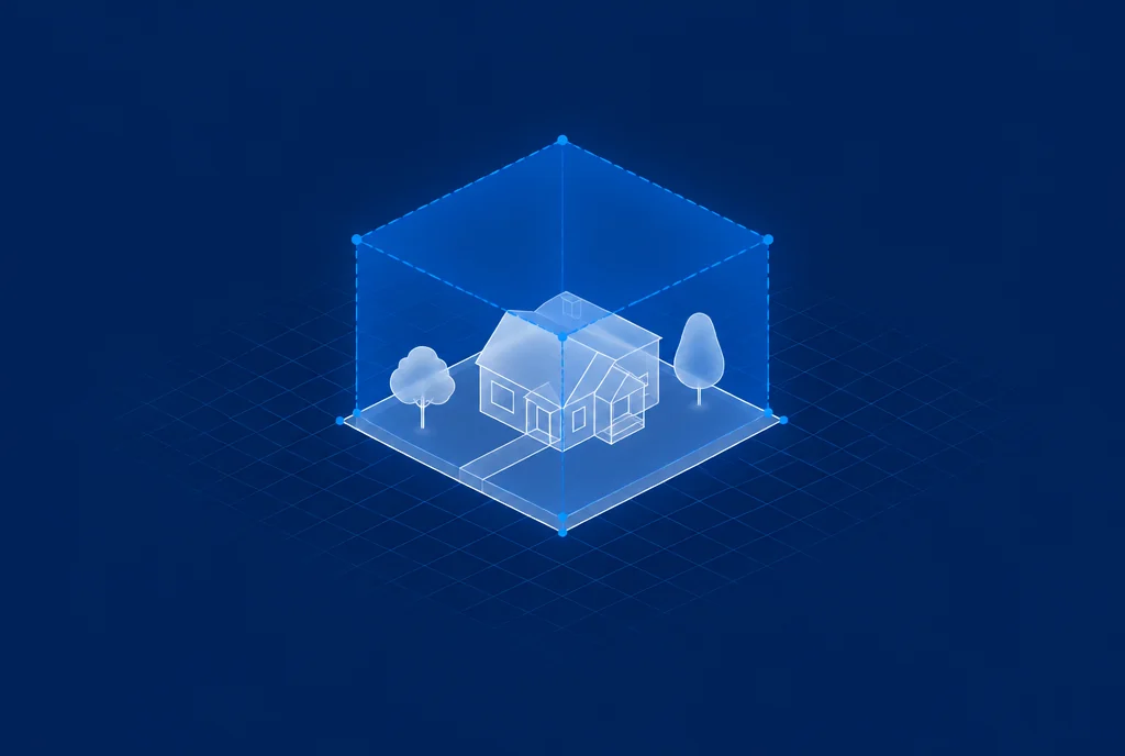
This illustrative preview shows how results are organized. The full report adds available setback standards with their source and confidence, height limits, and other project-specific evidence.

How it works

From address to evidencewith clear next steps.

01

Enter your property address

Enter the property address so Buildability can identify available parcel, jurisdiction, and public-source records.

02

Get a preliminary buildability analysis

Geo organizes nine weighted factors — zoning, flood, seismic, soil, radon, wildfire, utilities, terrain, and lot geometry — and identifies missing evidence.

03

Review your results

Review the preliminary score, source-cited findings, risk flags, open questions, and next verification steps in plain English.

FAQ

Frequently asked questions

How do I find out what I can build on my property?

Confirm the governing jurisdiction and official zoning district, then review permitted uses, overlays, setbacks, height, lot coverage, access, utilities, and site constraints for the project you have in mind. Buildability organizes a preliminary address check and shows its sources; the local jurisdiction makes the official determination.

What factors determine what I can build?

The answer depends on the proposed use, base zoning, overlays, dimensional standards, parcel geometry, access, utilities, hazards, easements, prior approvals, and any discretionary review. Missing information should be treated as an open due-diligence item.

Can I build an ADU on my property?

ADU rules depend on state law, the governing local code, zoning, lot and building conditions, overlays, utilities, and project design. Check the current local sources for the address and verify unresolved requirements with planning staff.

How accurate is the preliminary analysis?

Every finding should identify its source and confidence. Federal hazard data can be screened nationally, while local zoning depth varies by jurisdiction. Verify any fact that affects acquisition, design, financing, or construction with the responsible authority or licensed professional.

Is this a permit guarantee?

No. Buildability is preliminary due-diligence information, not legal advice, an entitlement, a permit, or an official zoning determination.

Want the full picture?

9 weighted factors · Zoning, flood, seismic, soil, radon, wildfire, utilities, terrain, and lot geometry · Local depth varies by source and jurisdiction.

Get full Buildability™ Report — free

Free · No signup · Preliminary results