Direct answer
What is the zoning on a property, and what does it allow?
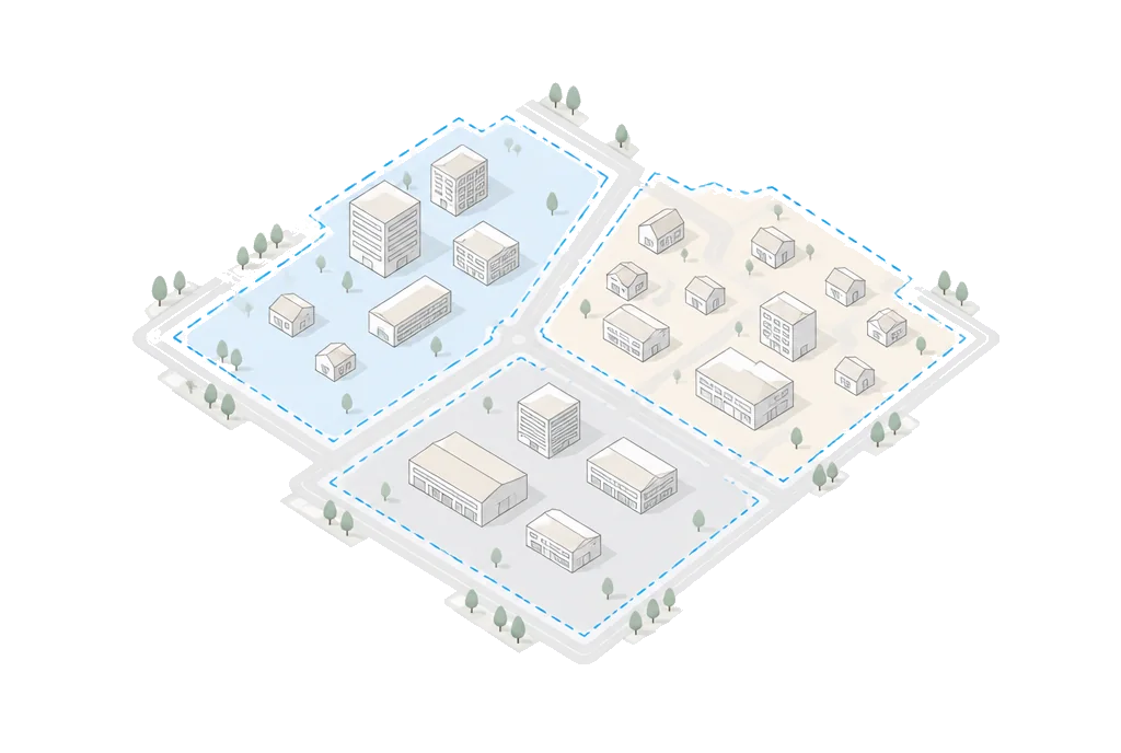
Find the property in the governing city or county’s official zoning map, then read the ordinance for the base district and every applicable overlay. The district name alone is not enough: permitted uses, setbacks, height, density, lot coverage, parking, and project-specific rules determine what may be built. Buildability surfaces those sources where available and labels missing or uncertain local data.
· Verified guidance
How to verify it
- 01
Confirm the governing jurisdiction
A mailing city does not always identify the authority; unincorporated land may follow county rules. Sources: Zoning Verification, Buildability methodology
- 02
Find the official mapped district
Use the jurisdiction’s current zoning map and note base and overlay districts. Sources: Zoning Verification
- 03
Read uses and standards
Check permitted, conditional, and prohibited uses plus dimensional rules. Sources: Land Development Code
- 04
Check parcel-specific exceptions
Review overlays, prior approvals, nonconformities, deed restrictions, and pending cases. Sources: Land Development Code, Buildability methodology
- 05
Request official verification when needed
For legal, lending, or acquisition decisions, obtain the jurisdiction’s formal confirmation process. Sources: Zoning Verification
Important limitation
Zoning maps and ordinances can change, and site-specific approvals may modify the base district. Treat the result as preliminary until the local authority verifies it.
Official and primary sources
- Zoning Verification · City of Austin: Example official process for identifying mapped zoning and requesting formal verification.
- Land Development Code · City of Austin: Example official authority for permitted uses, development standards, overlays, and exceptions.
- Buildability methodology · Buildability: Preliminary jurisdiction, parcel-specific zoning, source-label, confidence, and official-verification workflow.