
Source catalog · Verified 2026-07-28
Government data. Powered by Geo.
Buildability™ organizes available evidence from 5 federal agencies and 4 commercial sources, then routes each question to the right model tier for the job. Available findings identify their source and confidence.
Buildability can run a preliminary federal-hazard and location screen for addresses in all 50 U.S. states. · Parcel-level zoning coverage varies by jurisdiction; depth, dimensional standards, overlays, and permit guidance are labeled with their sources and confidence.
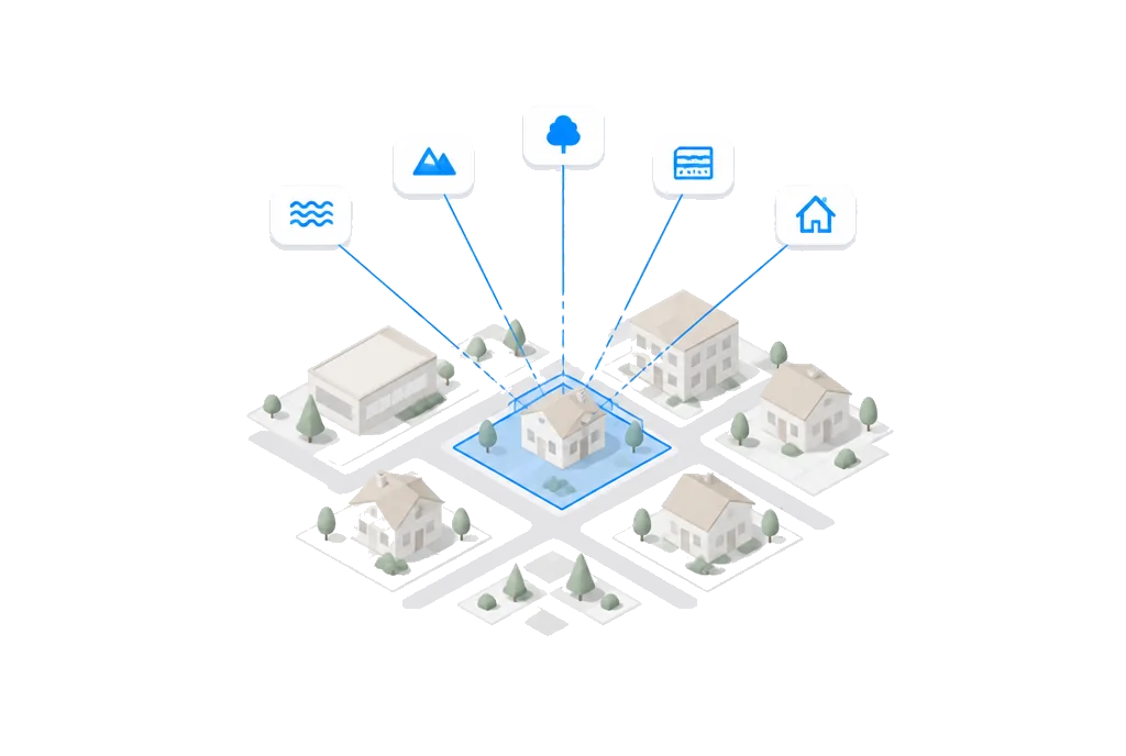
01 · Foundation
Federal sources of truth.
Available federal findings identify their source and confidence. Availability depends on the parcel and the dataset.
 .GOV
.GOVCensus
U.S. Census Bureau · Geocoding & Demographics- Address → coordinate geocoding
- TIGER boundaries & block groups
- ACS 5-year median household income
- Population & density
- Owner vs renter occupied %
- Block group / tract / county geography
 .GOV
.GOVFEMA
Federal Emergency Management Agency · Flood & Hazard Risk- NFHL flood zone code (X, AE, VE, AO, etc.)
- Special Flood Hazard Area designation
- Base Flood Elevation (BFE)
- Floodway boundary
- FIRM panel ID & effective date
 .GOV
.GOVUSGS
U.S. Geological Survey · Elevation & Seismic- Elevation (3DEP digital elevation model)
- Slope (%)
- Seismic hazard — peak ground acceleration
- Earthquake fault proximity
 .GOV
.GOVEPA
Environmental Protection Agency · Environmental Risk- EnviroAtlas environmental geospatial layers
- Facility Registry Service (FRS) facilities
 .GOV
.GOVUSDA
U.S. Department of Agriculture · Soil & Agricultural- SSURGO soil series & taxonomy
- Hydric soil rating
- Soil drainage class
- Building suitability ratings
- Prime farmland designation
02 · Intelligence
Commercial enrichment.
Property-level granularity that government APIs alone cannot provide.

Regrid
Regrid Parcel Data Platform · Parcel & Ownership- 155M+ U.S. parcel polygons (boundary geometry)
- Owner name & mailing address
- Local zoning district code
- Land use & legal use
- Assessed land + improvement value
- Last sale date & price
- Lot size (sqft & acres)
- Building characteristics (sqft, year built, beds/baths)

RentCast
RentCast Rental Analytics · Rental Market Data- Long-term rental comps (1bd–4bd)
- AVM property valuation
- Rent estimate range (low / mid / high)
- Days on market
- Local rent trend (12mo)
- Vacancy rate
Zoneomics
Zoneomics Zoning Intelligence · Zoning Enrichment- Zoning district code & description
- Permitted & conditional uses
- Setback, height & FAR standards
- Zoning map geometry
OpenStreetMap
OpenStreetMap (Overpass API) · Utilities & Infrastructure- Power infrastructure proximity
- Water infrastructure proximity
- Road access & classification
- Nearby amenities & points of interest
03 · Reasoning
Deterministic score. Model‑agnostic interpretation.
The Buildability Score is computed by the deterministic, versioned score engine; AI is not inside the scoring math. A complexity router picks the right frontier-model tier per question to interpret evidence, explain findings, and answer follow-ups.
- 01
Frontier tier. Top tier.
Deep Reasoning · Long-context · adaptive reasoning. Investment-grade due diligence, Full-ordinance reasoning, Multi-jurisdiction feasibility.
- 02
Default tier. Default.
Default Reasoning · Balanced reasoning · complex questions. Buildability finding explanations, Zoning interpretation, Strategic analysis.
- 03
Fast tier. Fast.
Fast Lookups · Low-latency · high-volume queries. Quick data extraction, Conversational replies, Simple queries.
Complexity router · Long-context reasoning · Adaptive thinking · Prompt caching · MCP tool use. We are model-agnostic and swap in whichever frontier model wins each task. Current model lineup and subprocessors are on the compliance page
The moat
Why this matters.
Buildability™ brings a documented source catalog and a calibrated preliminary workflow into one property review.
| Manual research | Buildability™ |
|---|---|
| Separate source portals | Buildability can run a preliminary federal-hazard and location screen for addresses in all 50 U.S. states. |
| Local maps and ordinances reviewed independently | Parcel-level zoning coverage varies by jurisdiction; depth, dimensional standards, overlays, and permit guidance are labeled with their sources and confidence. |
| Evidence reconciled by the researcher | 9-factor Buildability Score |
| Site constraints checked one at a time | Available findings identify their source and confidence |
| Material findings verified with officials and professionals | Buildability is preliminary information, not legal advice, an entitlement, a permit, or an official zoning determination. |
Available findings identify their source and confidence.
The workflow starts with the intended project, checks available zoning, site and legal-record evidence, and flags material questions for official or professional verification.
Preliminary information · Verify material findings · Free to score