
How it works under the hood
5 federal agencies, live. Three model tiers. One score.
While others spend hours piecing together county records, Buildability™ queries every source in parallel and routes each question to the right model, in under 20 seconds.
Foundation · Intelligence · Reasoning · All systems operational
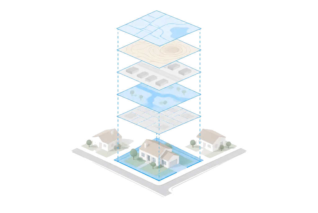
Architecture
Three-tier data architecture.
Live federal queries, commercial enrichment, and model-routed reasoning. One unified pipeline.
Foundation layer
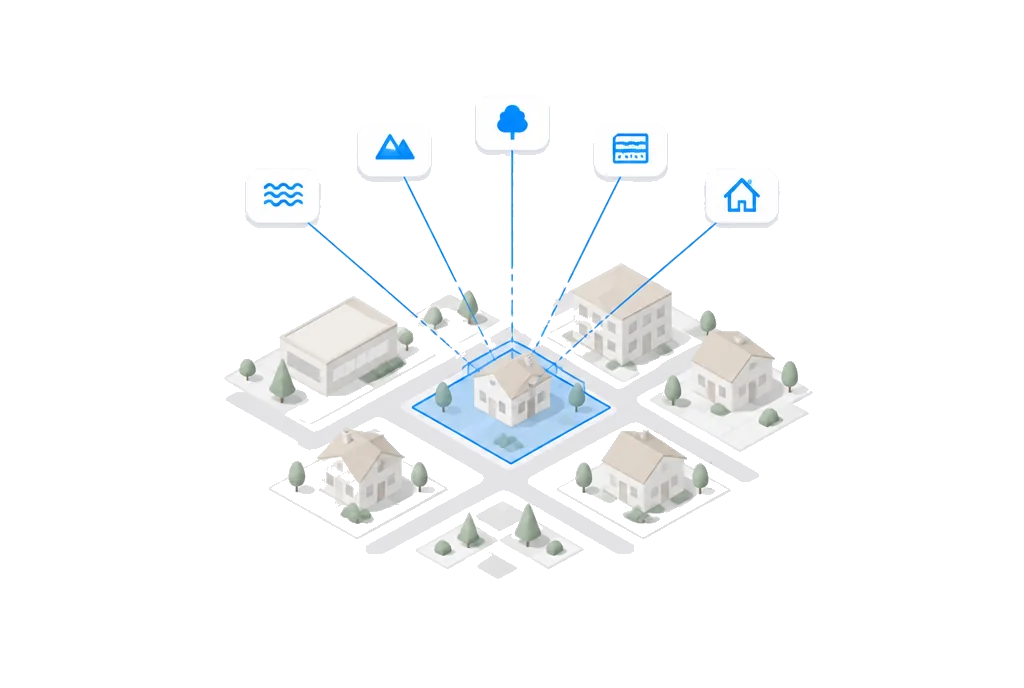
5 federal agencies, queried liveDirect integrations with official government databases: FEMA flood maps, USGS geological surveys, EPA environmental screens, Census geocoding, and USDA soils. Each is queried live on every fresh run and cited in the report.
- Census BureauGeocoding, TIGER boundaries and demographics
- FEMA NFHLFlood zone maps and flood risk
- USGSElevation, geology and seismic data
- EPARadon zones and environmental screening
- USDASoil classification and suitability
Intelligence layer
Commercial and geospatial partnersCommercial-grade parcel geometry, ownership records, rental comps, and zoning enrichment, plus open geospatial data. Property-level granularity that federal data alone cannot provide.
- RegridParcel boundaries and ownership
- RentCastRental comps, AVM and market data
- ZoneomicsZoning codes and permitted uses
- OpenStreetMapInfrastructure, utilities and amenities
Reasoning layer
Model-agnostic router, frontier tiersA complexity router scores every query and picks the cheapest frontier-model tier that can answer correctly. Prompt caching on the property-context prefix keeps multi-turn conversations on the same parcel cheap. We swap providers when a better model wins the task.
- Top tierLong-context, adaptive thinking, due diligence and full-ordinance reasoning
- Default tierBalanced reasoning, where most queries land
- Fast tierExtractions, lookups and conversational replies
Method
Overlay suitability analysis, at parcel granularity.
A 57‑year‑old peer-reviewed method, operationalized live against federal sources. Not a new score invented from scratch.
- 01
The method, since 1969.
Weighted overlay of constraint layers (slope, soil, hydrology, hazard, zoning) to derive suitability for a use. Ian McHarg formalized it in Design with Nature in 1969. It is the foundation of every GIS overlay analysis planners have run since; GIS-MCDA is its modern name, and weighted linear combination is the math your zoning department already trusts.
- 02
The literature we build on.
Malczewski's 2006 survey counted more than 300 refereed GIS-MCDA articles in a fifteen-year window; the paper itself has been cited over 3,600 times. Weighted linear combination with spatially varying weights, which our nine-factor composite reduces to structurally, is textbook. The math is settled; what we operationalize is the pipeline underneath it. The regulatory-index peer at jurisdiction level is the Wharton WRLURI (Gyourko et al.).
- 03
What is new here.
Prior productizations solved one axis at a time: hazard-only at scale (First Street, on every Realtor.com listing) or permission-only at jurisdiction level and periodic (WRLURI, Terner CLU). We operate the composite: hazard and permission together, one Buildability Score™ per parcel, all 50 states, sources queried live on every fresh run and cited per finding.
Pipeline
Address to Score in 20 seconds.
Every source queried in parallel, every answer routed to the cheapest model that gets it right.
- 0s
You enter an address.
No manual research, no waiting for county callbacks.
- ~2s
We query 5 federal agencies live.
Every source queried in parallel: Census, FEMA, USGS, EPA, and USDA.
- ~8s
The router picks fast, default, or top tier.
The cheapest frontier-model tier that can answer correctly handles the reasoning.
- ~20s
You get your Buildability Score™.
Graded, weighted, explained, and exportable.
Reasoning
How we build Buildability™.
The reasoning layer is model-agnostic. Three tiers, picked per query by a complexity router. We swap in whichever frontier model wins the task.
A complexity scorer analyzes every query and picks the cheapest frontier-model tier that can answer correctly. Fast tier for lookups, default tier for reasoning, top tier for full-ordinance and due-diligence questions.
The stable property-context prefix (base persona plus property data) caches across multi-turn conversations on the same parcel. Only the volatile per-turn content gets repriced.
Every answer is paired with a confidence score derived from data completeness and source agreement. When confidence is low, we surface the uncertainty instead of papering over it with a fake consensus average.
Top tier
Long-context · adaptive thinkingMulti-jurisdiction feasibility, full-ordinance reasoning, investment-grade due diligence. Long-context windows reason across overlapping zoning overlays without losing the thread. Adaptive thinking is on for the highest-stakes calls.
Default tier
Balanced reasoningRegulatory interpretation, risk assessment, and persona-aware deep answers at a fraction of the top-tier per-token cost. Where most queries land.
Fast tier
Low-latency lookupsStructured extractions, simple data lookups, and conversational replies that do not need deep reasoning. Cheapest, fastest.
Buildability™'s codebase is architected and developed with agentic coding tools, from the frontend to the API routes.
Security
Security and compliance.
Your data never touches a scraper, never trains a model, never leaves our infrastructure.
256-bit TLS encryption
All data encrypted in transit with TLS 1.3. At rest with AES-256.
CCPA compliant
Full compliance with the California Consumer Privacy Act. Your data, your rights.
No scraped data
Every data point comes from official APIs with documented provenance. Never web scraping.
Daily data refresh: live · Platform uptime: 99.9% · SOC 2 Type II: in progress
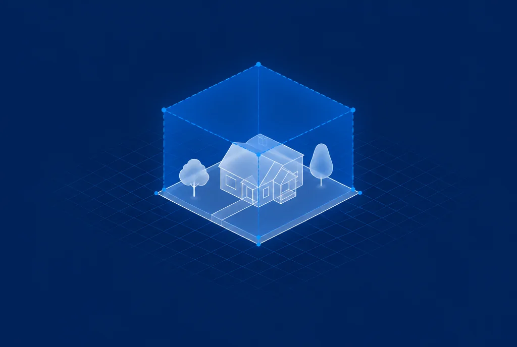
The methodology, on any parcel.
Weighted overlay analysis since 1969, at parcel granularity, cited live to source. See what it returns for an address.
Free to score · Full report $99 · ~20 seconds · For cities and counties: see what your city has