
Free tool · No signup
Know your flood zone. Instantly.
Official FEMA data for any U.S. address. Your zone designation and what it means for insurance, in seconds.
Free to score · No card, no signup · All 50 states
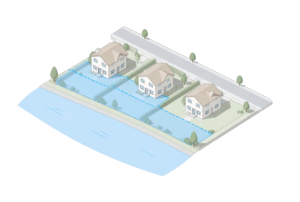
One address in. Three answers out.
Read from official FEMA flood map data for the parcel, not the county average.
- Your FEMA zone designation. X, A, AE, V, or VE, read from the flood map for this parcel.
- Whether flood insurance is likely required. Mandatory in Special Flood Hazard Areas with a federally backed mortgage.
- What it means for building or buying. Your risk level in plain English, before you commit to the property.
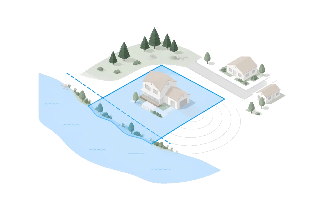
From address to flood zone in seconds.
- 01
Type any U.S. address.
FEMA flood zone data covers all 50 states.
- 02
Get the official zone.
Buildability reads official FEMA flood map data for the parcel. Your designation (X, A, AE, V, VE) in seconds.
- 03
See what it means.
Your risk level, whether flood insurance is likely required, and what it means for building or buying.
The stat everyone gets wrong
A quarter of flood claims come from outside the high-risk zones.
Zone X properties are not required to carry flood insurance. Check the map before you assume you are safe.
Buying land? The zone is one number, not the deal. Flood insurance due diligence before you write the offer
Before you decide.
How do I check if my property is in a flood zone?
Enter any U.S. address to instantly check FEMA flood zone data. Results show your zone designation (X, A, AE, V, VE), whether flood insurance is likely required, and the risk level. Free, no signup required.
What do FEMA flood zone designations mean?
Zone X = minimal risk, no flood insurance required. Zone A/AE = 100-year floodplain, flood insurance required, elevated construction may be needed. Zone V/VE = coastal high hazard, flood insurance required with strict construction standards. Zone B/C = moderate risk.
How much does flood insurance cost?
Flood insurance costs vary by zone: Zone X (minimal risk) is often $400-$800/year if purchased voluntarily. Zone AE (100-year flood) typically costs $2,000-$5,000/year. Zone VE (coastal high hazard) can cost $8,000-$40,000/year. NFIP provides coverage up to $250,000 for residential structures.
Is this flood data accurate?
Buildability™ uses official FEMA flood zone data updated regularly. However, FEMA maps are periodically revised. Always verify current flood zone status with your local floodplain administrator before making decisions.
Can I remove my property from a flood zone?
If you believe your property was incorrectly mapped, you can apply for a Letter of Map Amendment (LOMA) or Letter of Map Revision (LOMR) through FEMA. This requires a licensed surveyor or engineer to certify that your property is above the base flood elevation. The process takes 60-90 days and costs $500-$5,000.
Is flood insurance required for my mortgage?
If your property is in a FEMA Special Flood Hazard Area (zones A, AE, V, VE) and you have a federally backed mortgage, flood insurance is mandatory. Properties in Zone X are not required to carry flood insurance but may choose to. About 25% of flood claims come from outside high-risk zones.
How does flood zone affect property value?
Properties in high-risk flood zones (A, AE, V, VE) typically sell for 4-7% less than comparable properties outside flood zones. Mandatory flood insurance, higher construction costs, and resale difficulty contribute to lower valuations. However, waterfront properties may offset this discount.
What is the difference between a 100-year and 500-year flood zone?
A 100-year flood zone (Zone A/AE) has a 1% annual chance of flooding, meaning a 26% chance over a 30-year mortgage. A 500-year flood zone (Zone X-shaded) has a 0.2% annual chance. The 100-year designation requires flood insurance with federally backed mortgages; the 500-year does not.
How often are FEMA flood maps updated?
FEMA updates flood maps on a rolling basis, with major updates every 5-10 years per community. Climate change, new development, and improved data are driving more frequent updates. Check FEMA’s Map Service Center for pending revisions in your area.
Can I build in a flood zone?
Yes, but with restrictions. Building in Zone A/AE requires elevating the lowest floor above the Base Flood Elevation (BFE). Zone V/VE requires elevated construction on pilings or columns. Additional costs range from $10,000-$80,000+ depending on the required elevation. Some areas prohibit new construction in floodways.

Want the full picture?
nine weighted factors (zoning, flood, seismic, soil, radon, wildfire, utilities, terrain, and lot geometry) for any U.S. address, in 20 seconds.
Free to score · Full report $99 · No record, no charge