 Buildability
Versioned and frozen
Each version is a published artifact. Same inputs, same number. Changes need a reviewed version bump.
For investors
One 0–100 score for any U.S. parcel, on one published method, with regional weights where risk differs.
Free to score · No card, no signup · All 50 states
 USFS wildfire hazard · foothills west of Boulder, CO
Likely yes.
1247 Pine StAustin, TX · sample
9 factors · 1 to watch
Sample report · 1247 Pine St, an invented parcel
Score deals as they arrive, about 20 seconds each.
Three what-if levers (de-flood, utilities, hazards) re-score the parcel before and after, free in Geo’s chat.
Export the full report or an IC memo, every finding cited.
The Score is engineered like an index, not an opinion.
Each version is a published artifact. Same inputs, same number. Changes need a reviewed version bump.
No data for a parcel, and that factor drops out. A regional estimate is labeled Estimated. Nothing is silently penalized.
The Score stands on seven federal agencies: Census, FEMA, USGS, EPA, USDA, USFS and USFWS.
A screening standard, not a substitute for closing diligence. Read the methodology
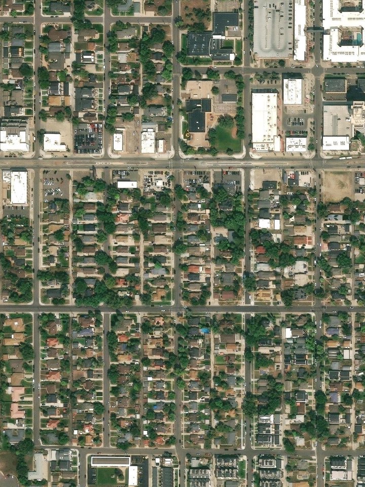
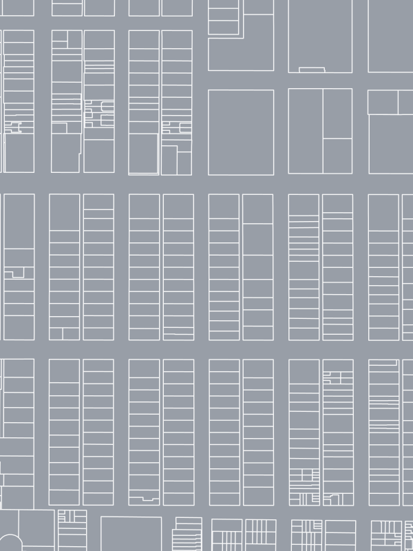 Parcel lines · Esri World ImageryHomeowners
What can you build on your lot?
 FEMA flood zones · Buffalo Bayou, HoustonLenders
Collateral risk, cited to its source.
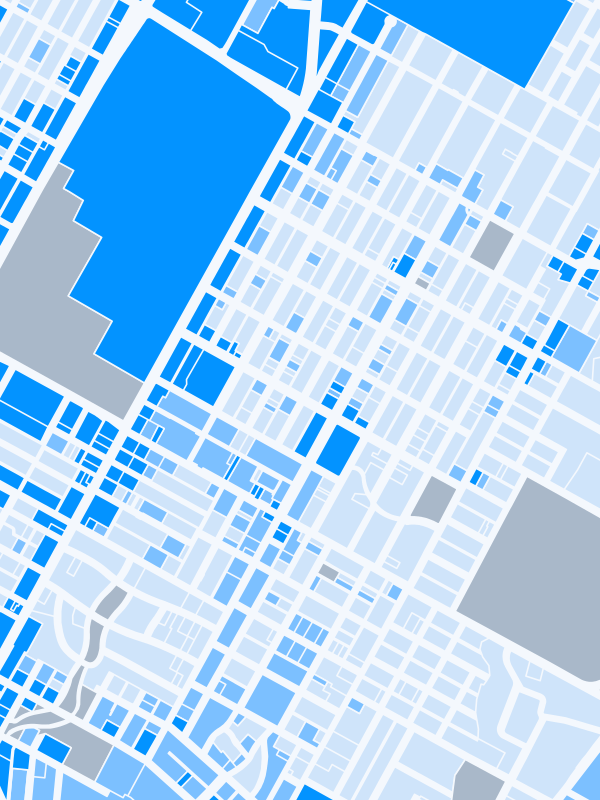 City zoning · Hyde Park, AustinBrokers
Know the listing better than anyone.
 USGS elevation · Green Mountain, Lakewood, CODevelopers
Kill the bad sites before they cost you.
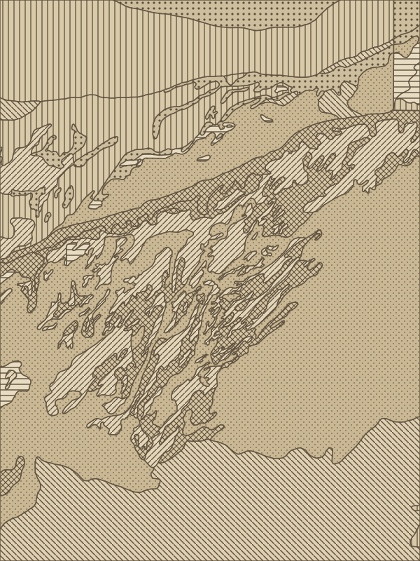 USDA soil survey · Salt River, Mesa, AZFamily offices
The whole book, on one standard.
Yes. Signed in, bulk scoring takes up to 500 addresses a run, free.
Florida, California and Texas carry regional weights: flood counts 25% in Florida, terrain 25% in California, utilities 24% in Texas. Other states use the national weights.
Reports are $99 each, sliding to $79 at volume, and never expire. The live Score is free on any address.
Drop in the next address on your list.