
For cities and counties
A “what can I build here?” page for your city.
Anyone types an address. They get the zoning, what is allowed, and the risks, with the source on every line. Your counter stops answering the same question over and over.
Type your city to see what is already built for it. Or look at Austin first.
- Free for 30 days
- Nothing to install
- Federal flood and hazard data, read live
- All 50 states
What it is
One page. Every lot in your city.
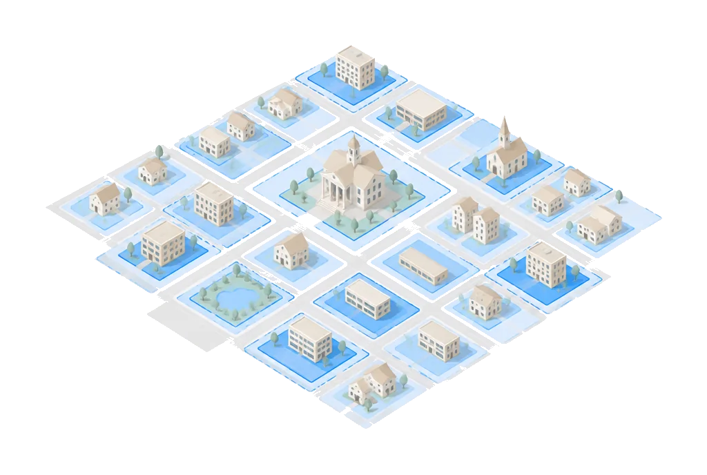
We read your published code once, before you pay anything. After that every address in town answers the same way. It works the same for a town of 2,000 and a county of 2 million.
- 01
Someone types an address.
A resident, a builder, a real-estate agent, or your own counter staff.
- 02
Buildability checks the public records.
Your published zoning code, FEMA flood maps, wildfire and soil surveys, slope, and utility lines. Public data only, read at the moment they ask.
- 03
They get a plain answer.
What the lot is zoned, what is allowed, and what could stop a build, with the source on every line. In about 20 seconds.
What your city gets
Four things, from day one.
Your own answer page.
Your logo, your web address. Whoever looks after your website adds a link, or drops in a snippet we send. Ten minutes of their time, once.
Fewer repeat calls.
“What is my zoning?” “Can I add an ADU?” “Am I in a flood zone?” Answered before the phone rings. Your staff keep the hard cases.
A question log nobody has.
Every month: what people asked, which lots, and where your code confuses them. It is your data, and it makes a good chart for a council packet.
We keep it current.
Your code changes, the page changes. Your staff do nothing.
Try it on a lot you already know.
Type any address in your city. This is the same lookup your residents would use. Try a lot where you already know the answer.
Free · No account · The source on every line
What it costs
Free for 30 days. Then a price built for your city.
A town of 2,000 and a county of 2 million should not pay the same, so they don’t. Two things set your number, and you get it in writing the same day you ask.
The first 30 days are free.
A real deployment for your city with a hard end date. Not a demo. If it has not earned its place by day 30, you never pay and nothing was installed.
Two things set your price.
How many parcels you govern, and how much of your code we have to read. Both are things you already know. Nothing else moves the number.
The lookup is always free to use.
Free for your residents and free for your staff, with no cap and no per-question bill to the city. A resident who wants the full written report on their own lot can buy one from us for $149. That is between them and us.
No data from you, no integration, no IT project. If you run Tyler, Accela, OpenGov or ArcGIS, this does not touch them; if you run none of those, it works just the same. Tell us what you can sign without a bid process and we will fit it, monthly if that is easier.
Plainly
What it does not do.
Three limits, before you ask. The third is the one your attorney will want.
- It does not replace your planners. It answers the routine questions so they can do the rest.
- It does not guess. Where your code is not on record yet, it says so instead of inventing a number.
- It does not decide anything. Every answer is labelled preliminary information from public records and points back to your counter. Your jurisdiction is the only authority. It issues no permits and makes no determinations.
CDBG grantee?
Your Section 104 inventory is already assembled.
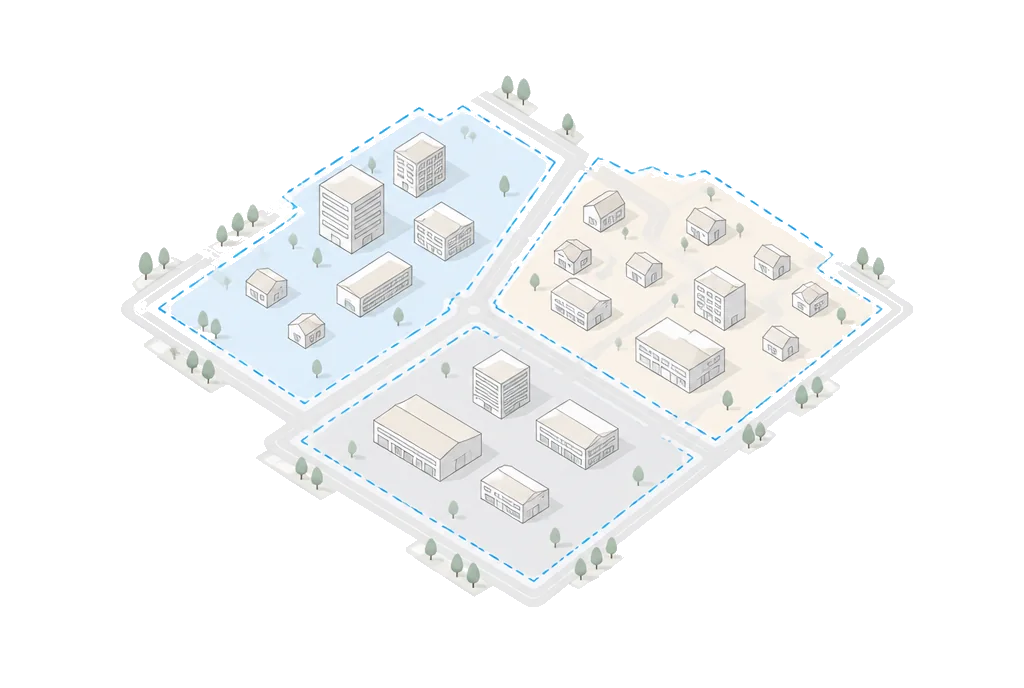
Public Law 119-101 makes an inventory of undeveloped land part of your next certification. We assembled one for every grantee from public records. Yours is free, whether or not you ever buy anything. If your grant comes through the county, this is their job, not yours.
Security
What your IT person will ask.
Three answers. Everything else is written down in public, before anyone has to request it.
Public data only.
The page reads public records and your published code. It holds no resident accounts and no personal data.
Every answer cited.
Each line shows the dataset or code section it came from, with the date it was read.
Nothing on your servers.
It is a link or one line of code on your site. Nothing installs, nothing connects to your systems.
Questions cities ask.
Does this replace our planners?
No. It answers the routine questions, so your planners spend their time on the cases that need judgment.
Has another city launched this yet?
No. No city is live on it today, and we would rather tell you that than point you at a reference you cannot check. The first cities get their price locked for three years and a say in what gets built next.
Who is responsible if an answer is wrong?
Your jurisdiction stays the only authority. Every answer is labelled preliminary information drawn from public records, shows the source and the date it was read, and points the reader back to your counter. It issues no permits and makes no determinations. Your attorney gets the disclaimer text and the contract before you sign anything.
How do we know it is right for our code?
Your planner checks it during the free 30 days on lots where they already know the answer. That is what the 30 days are for. Where our reading and your planner disagree, we fix ours.
Do we have to give you data or connect our systems?
No. It reads public records and the code you already publish. There is nothing to integrate, nothing to migrate, and nothing installed on your servers.
What happens when our code changes?
We update the page. Your staff do nothing. Every answer shows the section it came from, so a change is easy to check.
What if it does not have an answer?
It says so. Where your code is not on record yet, the page shows the gap instead of inventing a number.
What happens at day 31 if we say no?
Nothing to uninstall and no invoice. Your page stays up and free with our name on it, or we take it down. Your choice.
Who owns the question log?
You do. They are your residents asking about your code. We will hand you the whole log in a spreadsheet whenever you ask, including after you stop paying us.
How do we buy it without an RFP?
The first 30 days are free, so there is nothing to buy until you have seen it work. Pricing is per jurisdiction: tell us your city and we send the number the same day, in writing, before any call. Tell us what you can sign without a bid process and we will fit it, monthly if that is easier.
Let’s build it for your city.
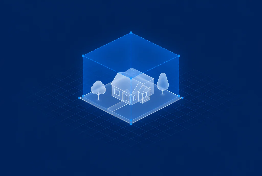
Type your city. If we have read your code already, you will see exactly what it can answer. If we haven’t, we will read it and send you the link.
Or email team@buildability.us with your city and the one question your counter hears most.